
100
% increase in productivity
across AtmosWatch's on-field reporting workflows
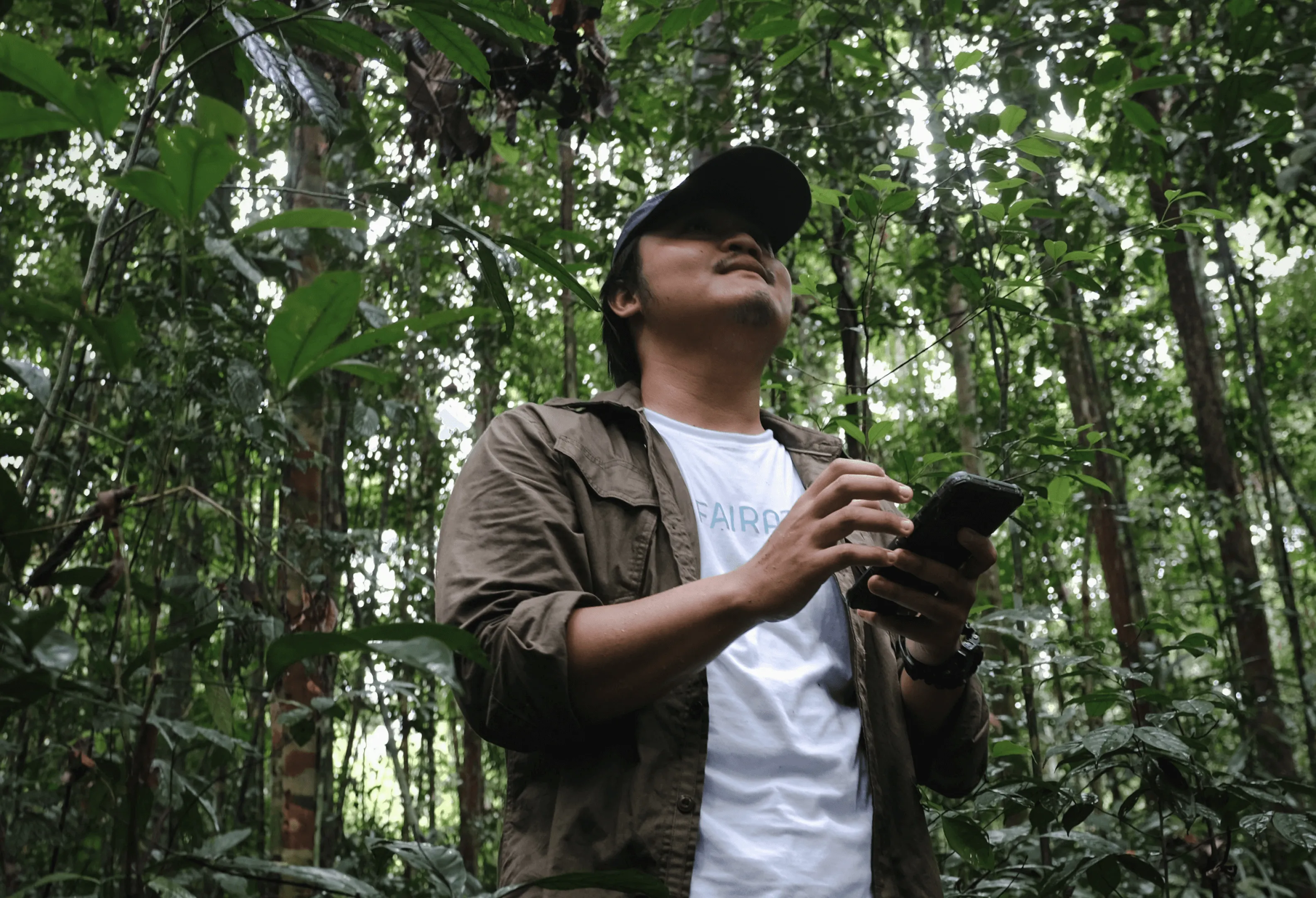
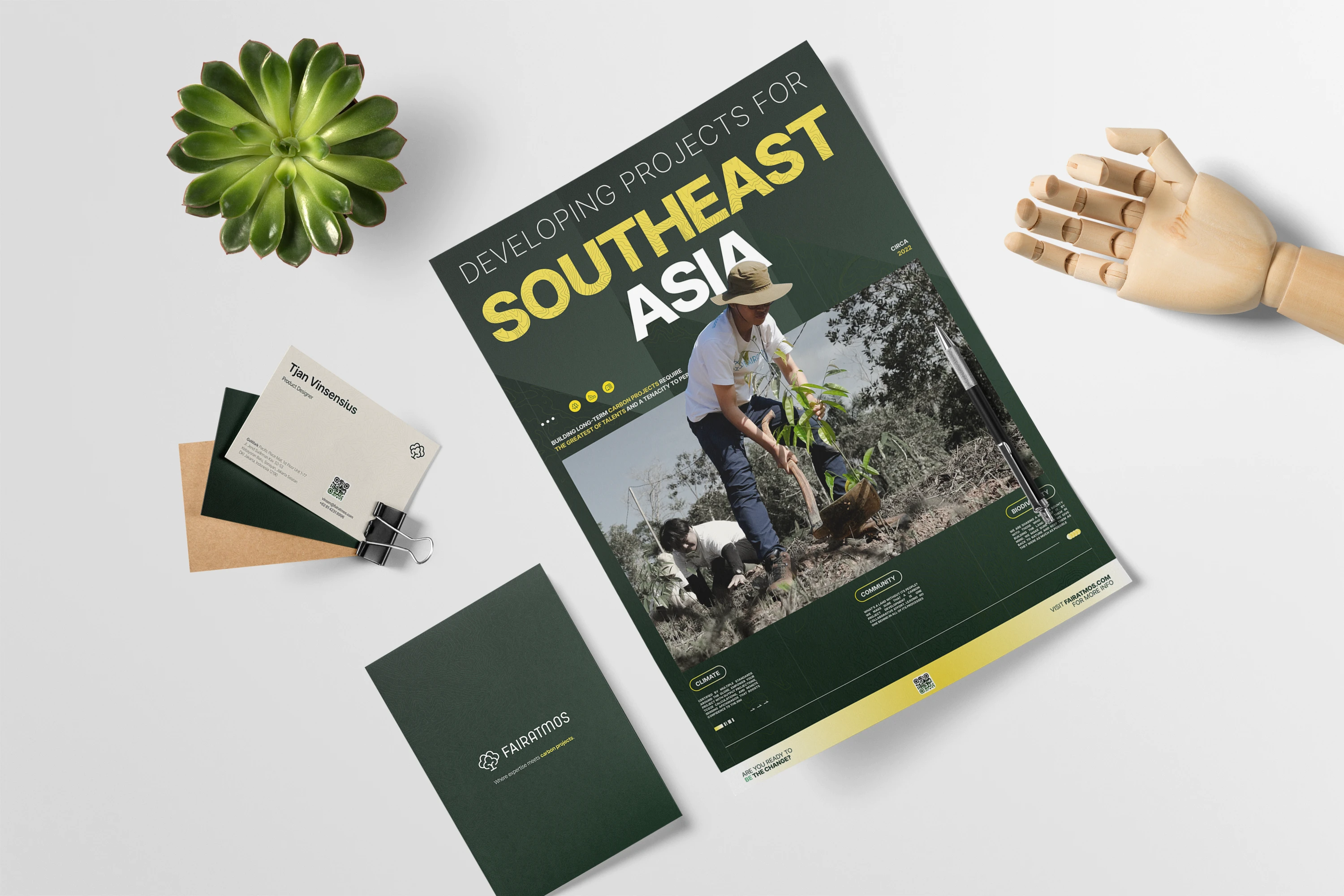
Fairatmos connects carbon project developers with the global standards and investors they need to move forward. I joined as their first designer with no system and only workable visual language. The mandate came with three distinct fronts: AtmosWatch, a geospatial monitoring dashboard for carbon projects across Southeast Asia, a design system that brought consistency to a product that desperately needed it, and a visual identity that made a serious B2B company feel like it was done by humans, but credible in its workings.
The goal was to win people's trust through what they see and feel — it's never easy committing to something that costs a lot and can last for more than 30 years without said credibility.
Product Designer, Creative Strategist, and Visual Designer
SCOPE
0 → 1 product for carbon project monitoring, climate-tech startup
TEAM
Sole designer within a hybrid product team, Agile
Shipped in 6 months with 2 years of ownership in total
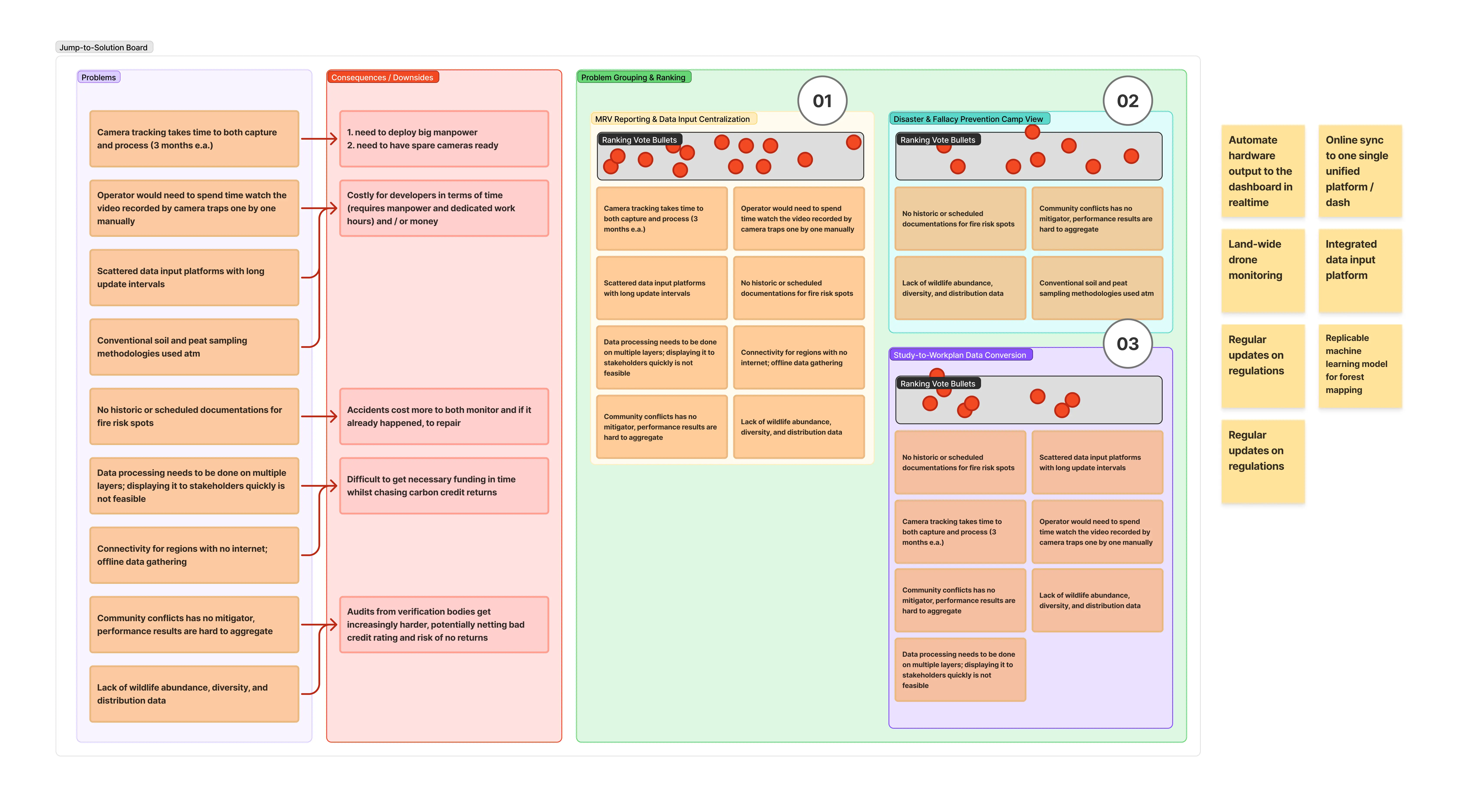
THE PROBLEM
DEFINING THE STRUCTURE
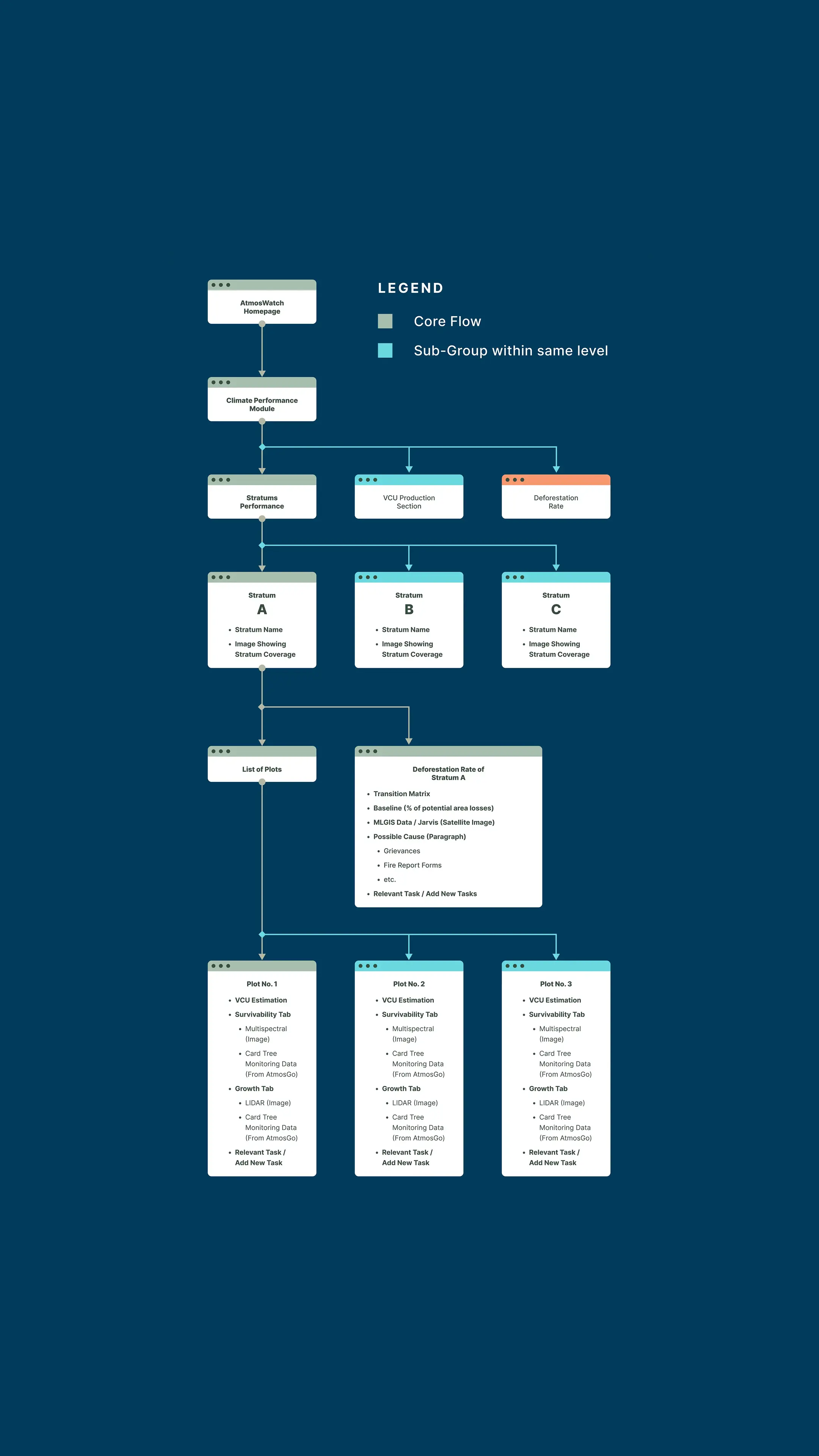
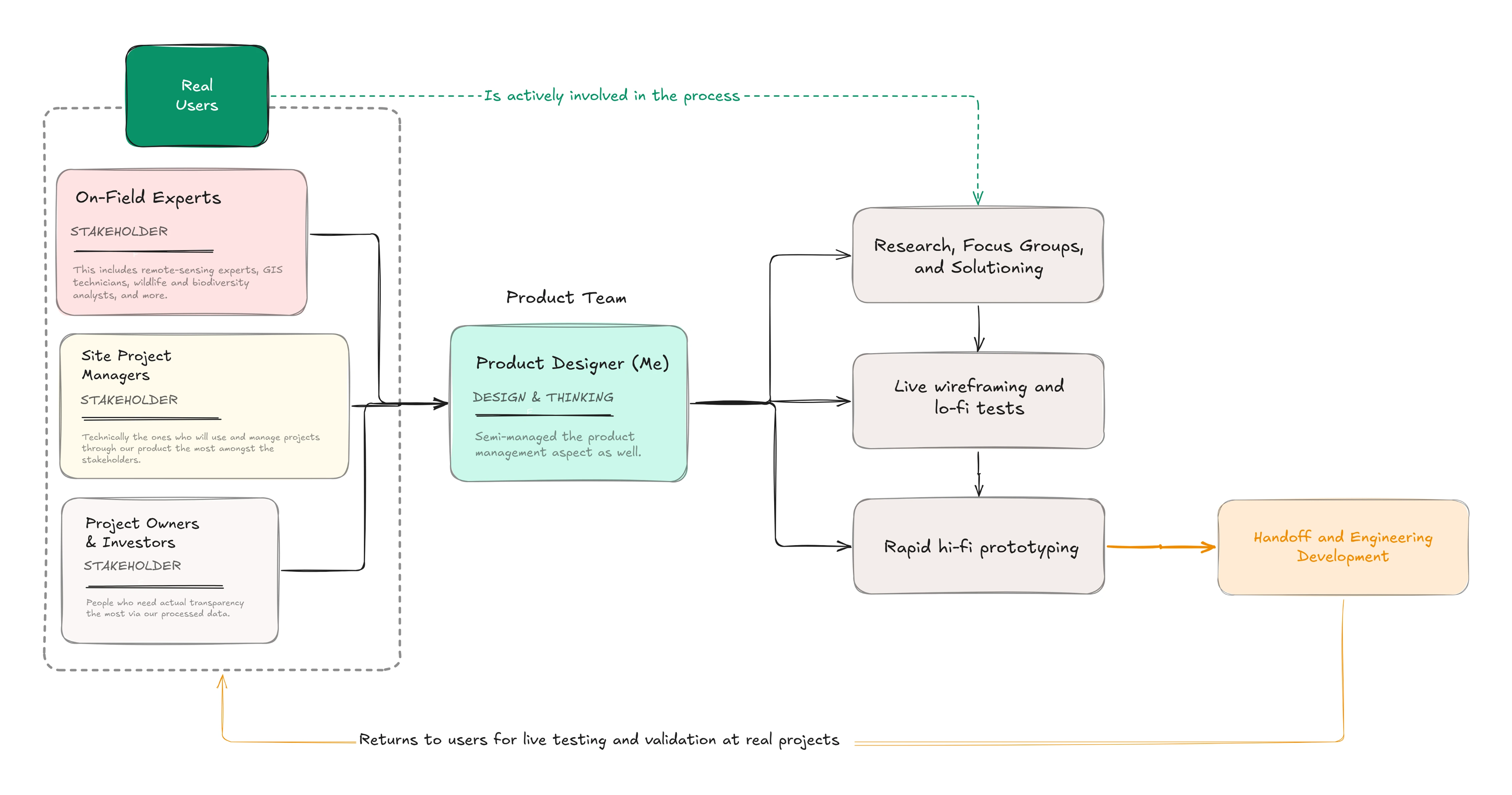
At this stage, I was working in parallel with the previous experts and see what needs to be prioritized visually. I decided to leverage the field operator's way of "tiering" how they see data and made the flow go from the topmost layer to the deeper ones, like a tree going from the top to the bottom.
High-fidelity Prototyping
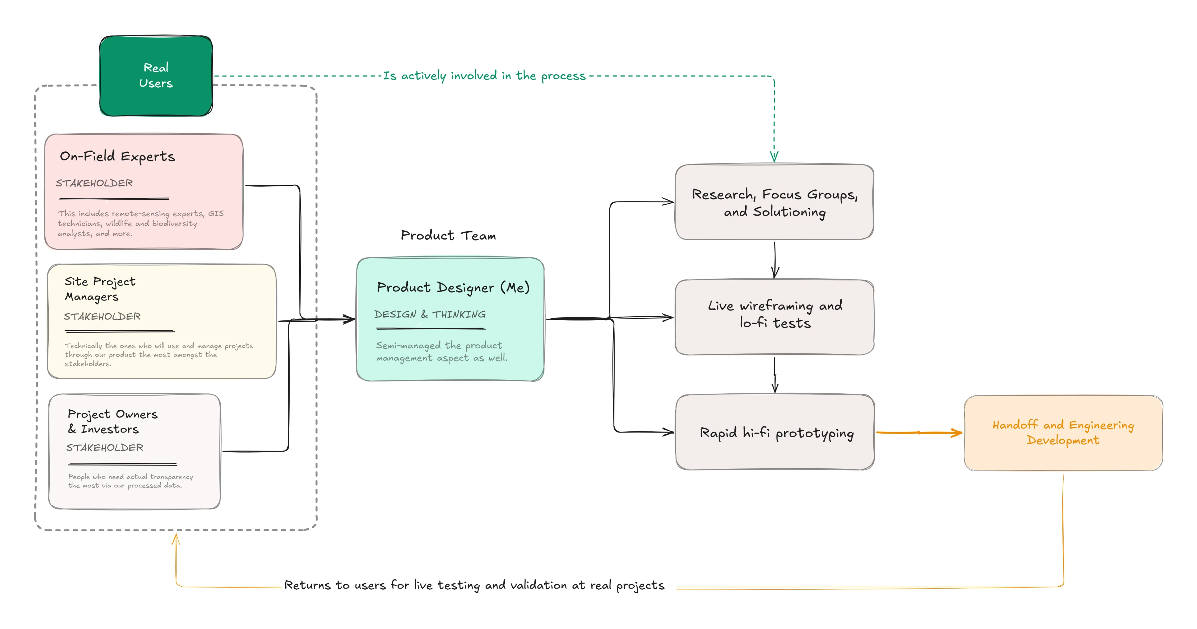
These are made digitally via Figma for various initial user tests. The cycle from before helps to make this available to test early, and most had been trialed or at least presented to our users for future credibility.
Sketched LOW-FIDELITY WIREFRAMING
Since I had a lot of exposure to discuss my objectives with stakeholders live, I opted for pen-and-paper wireframing as opposed to a digital one. This helps to allow cross-team collaborations and for me to immediately apply changes.
THE PRODUCT
LAYERS THAT DRAW DATA
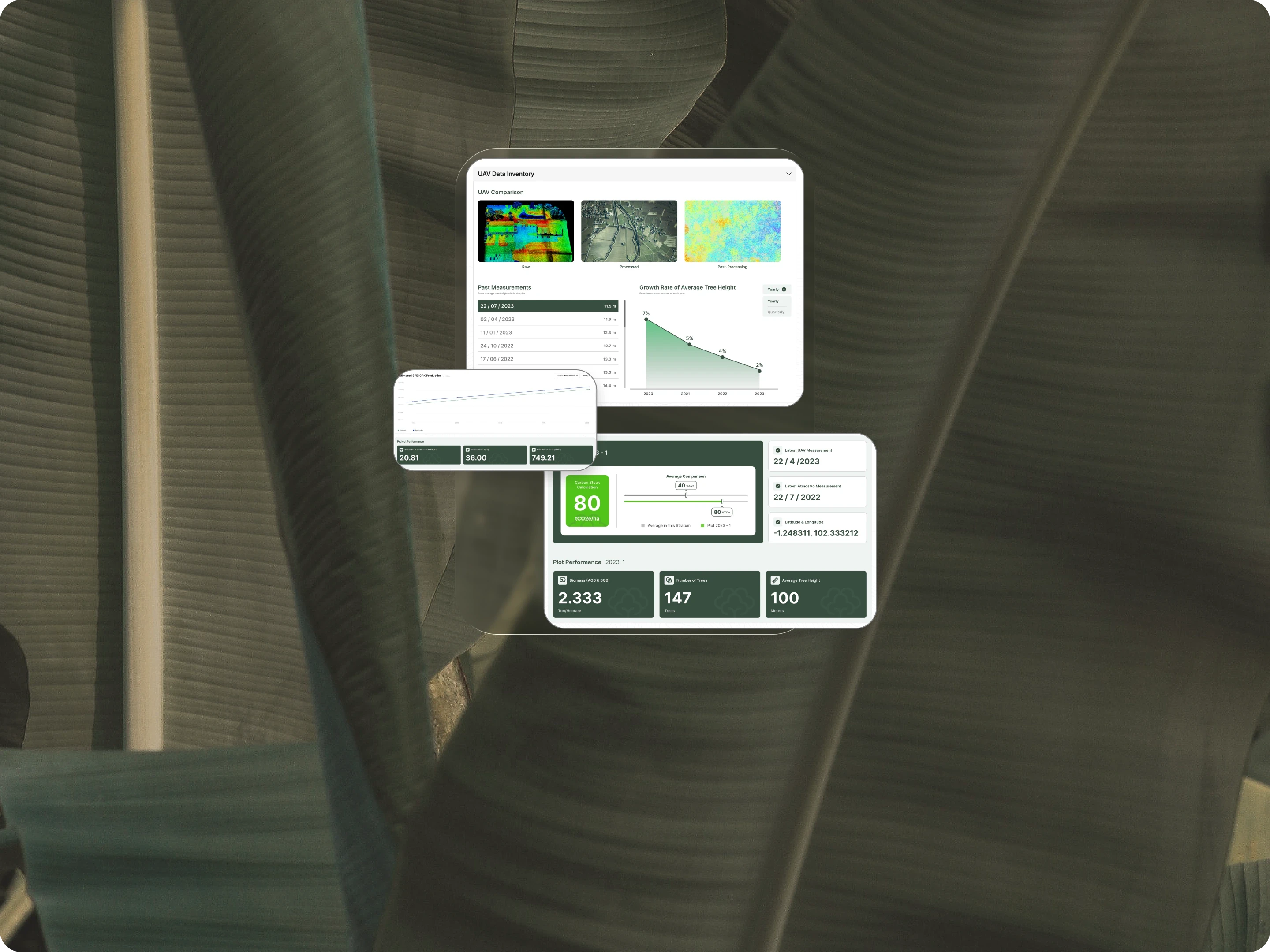
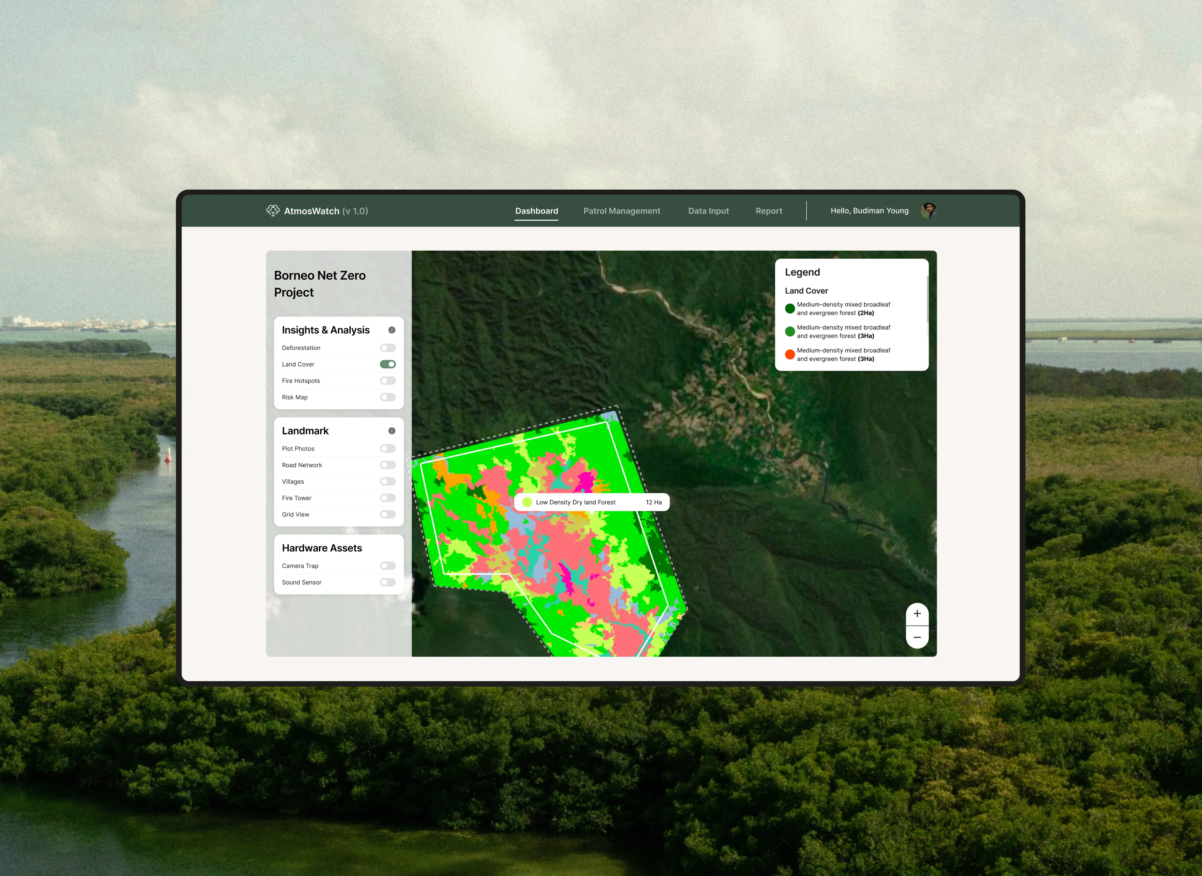
Each feature or layer offers critical information that can monitor fast-changing metrics, compare real landmarks, and even track the placement of hardware assets, all via a combination of live geospatial tracking and third party APIs.
WIDGETS FOR SCALABILITY
MOBILE COMPANION
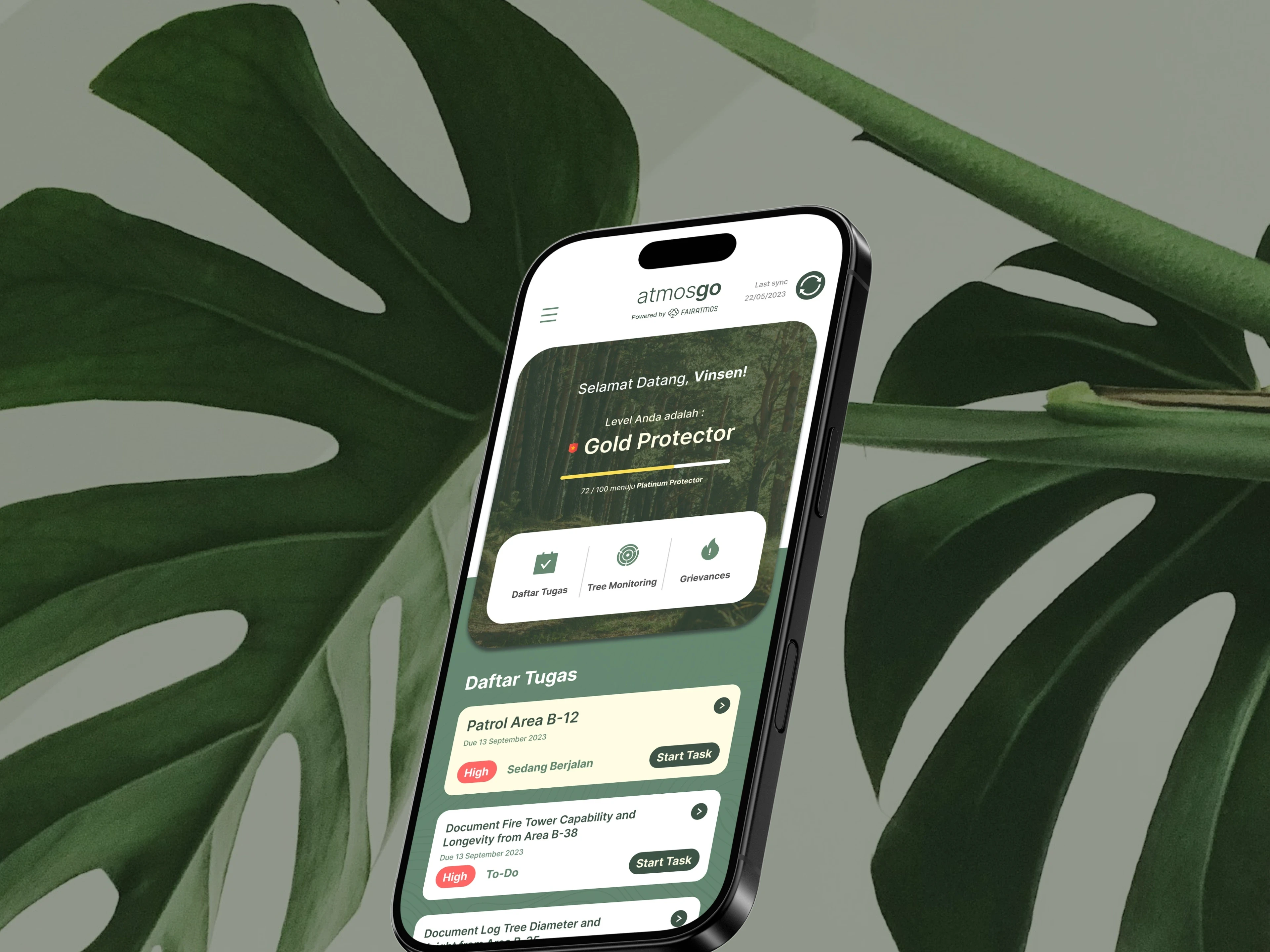
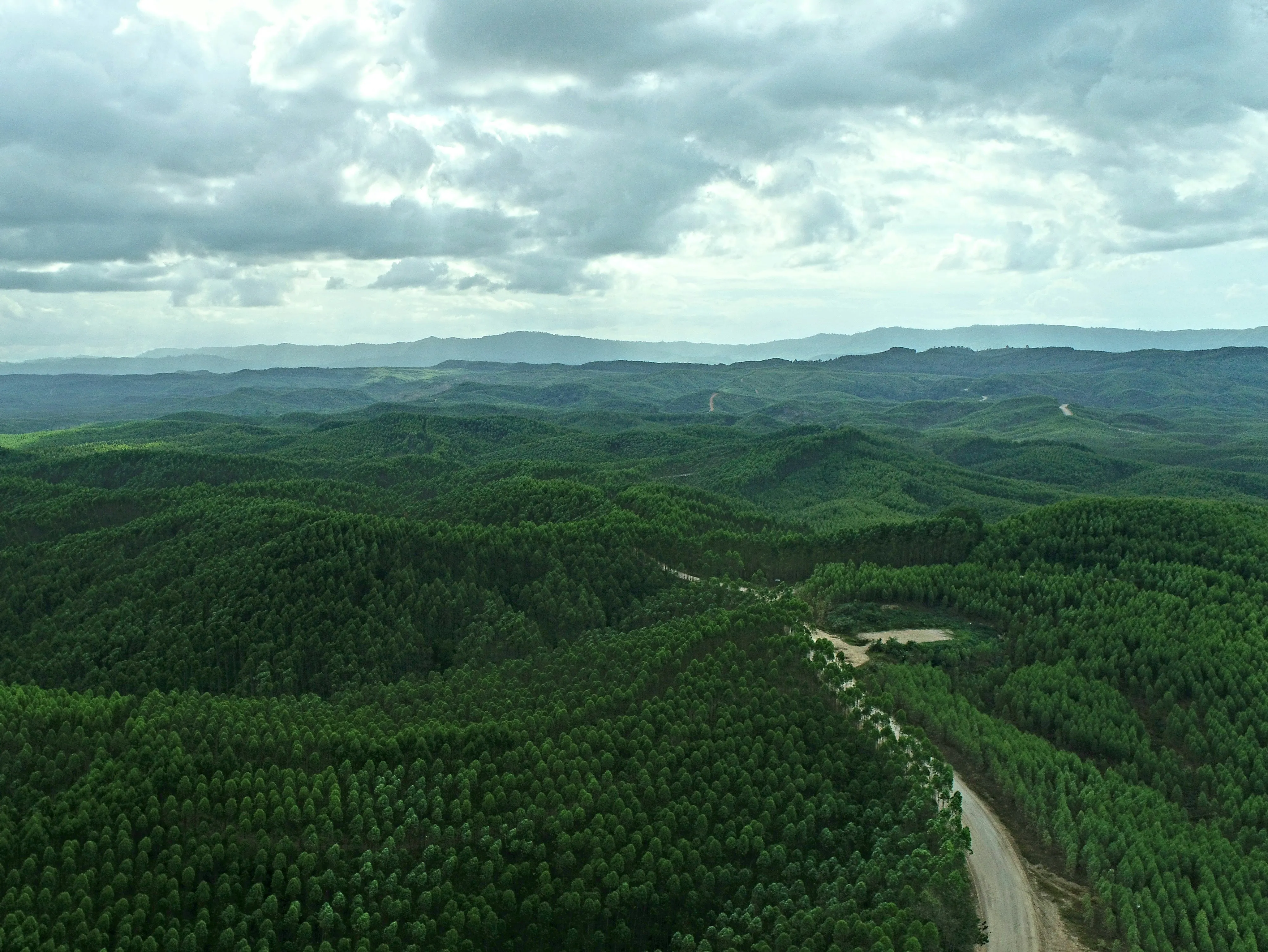
Field operators don't always have stable connection when working. The companion app works without it — log everything from tree measurements to local grievances on-site, and sync back whenever you're back online.
KEY RESULTS
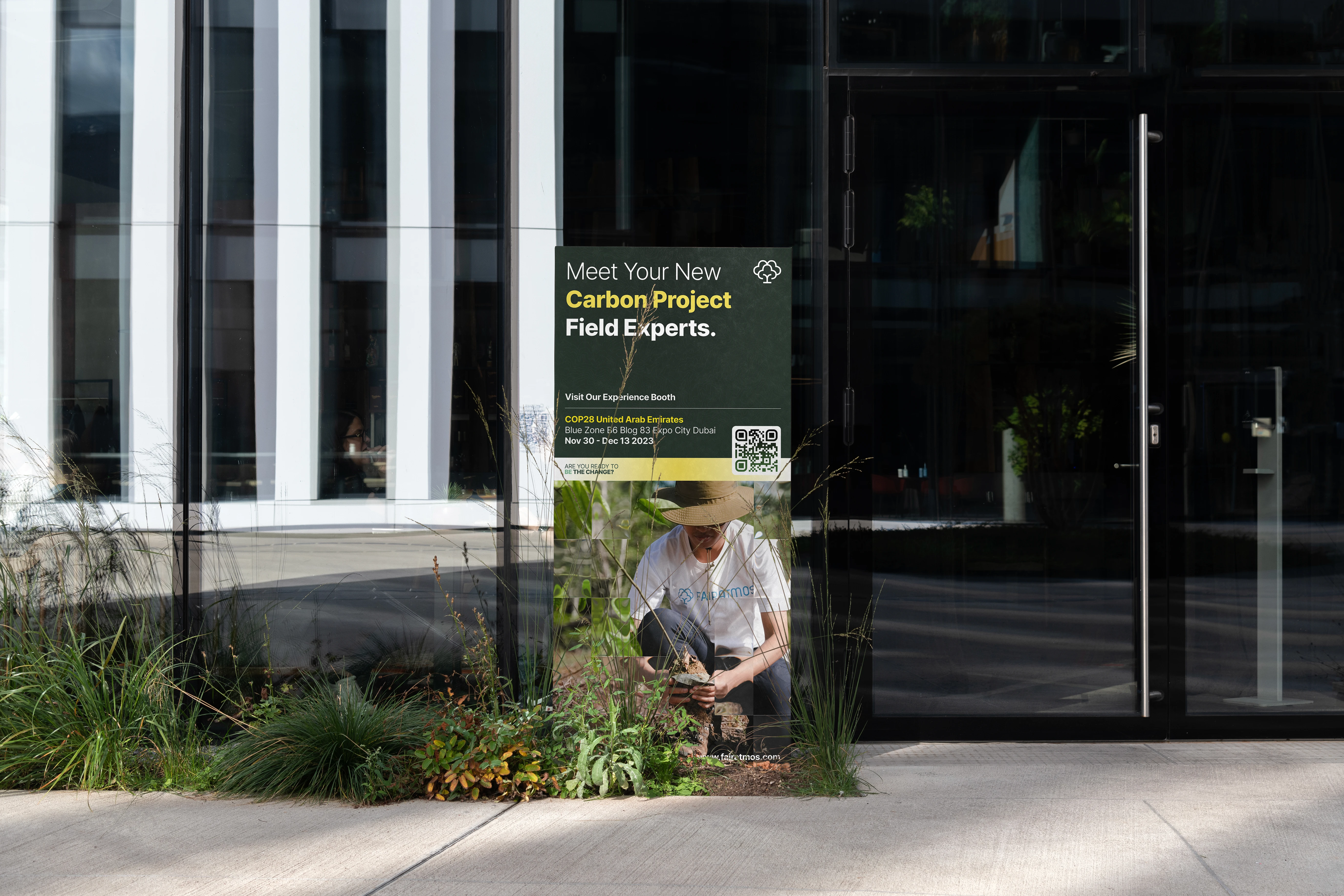
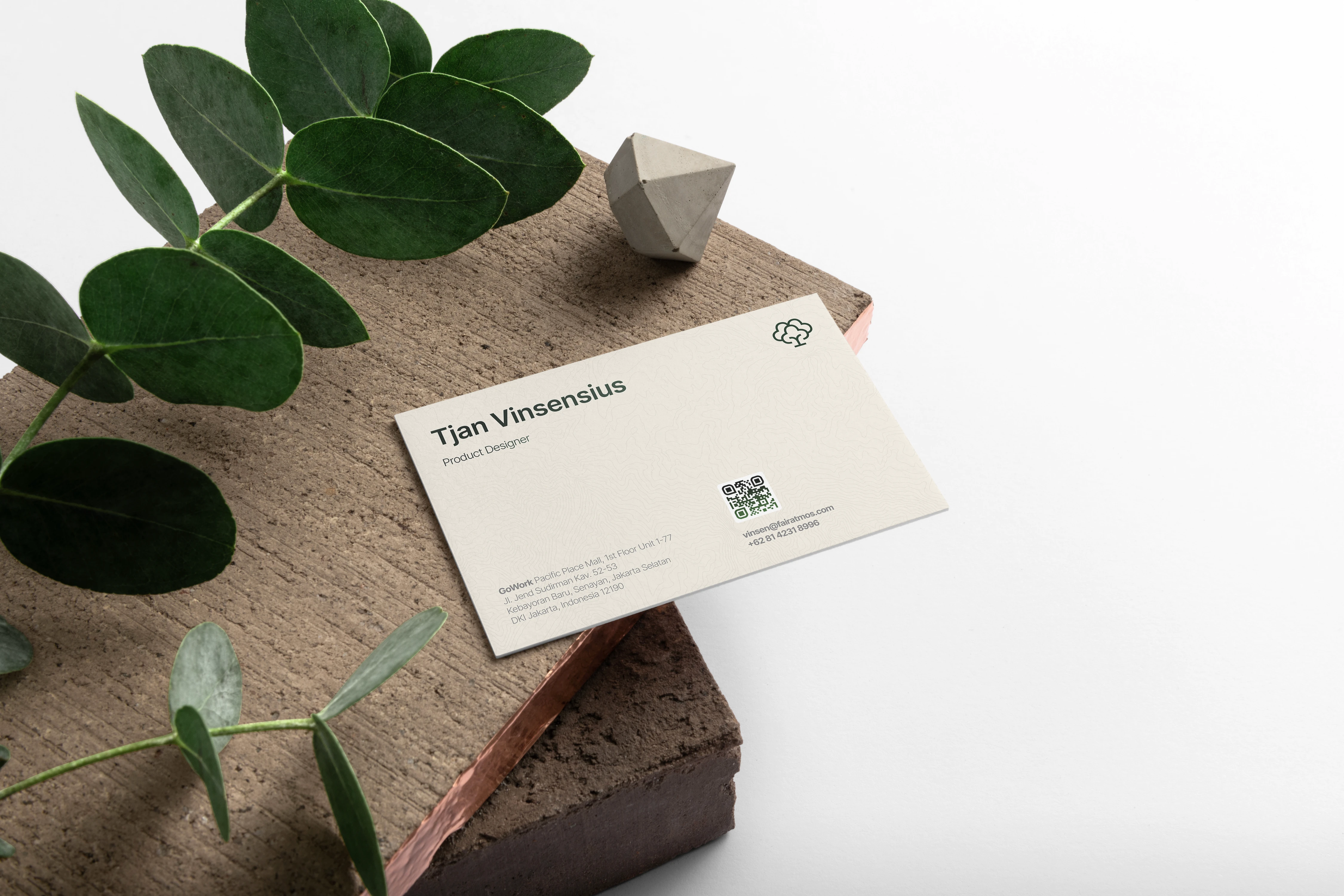
IDENTITY AND BRAND